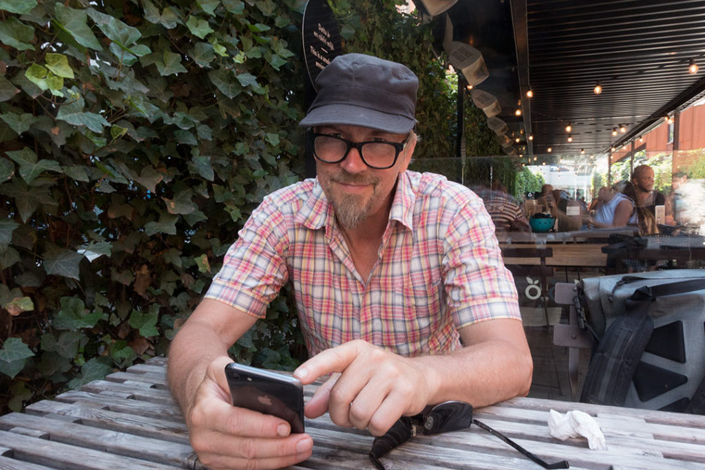
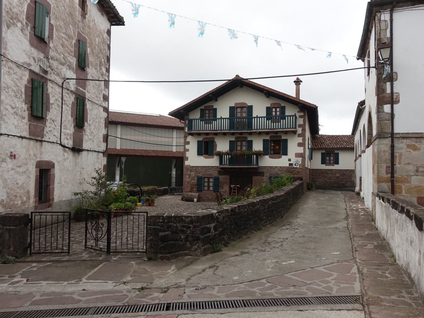
Hikes
The Dolomites 2012: Day 12
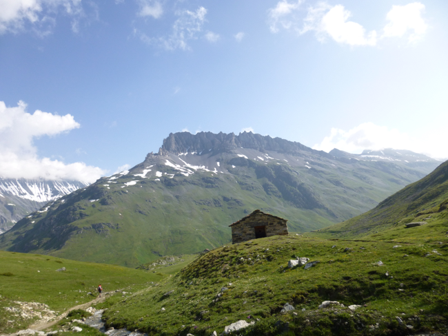
Rifugio Rosetta – Rifugio Treviso
We decided to take a alternative way. I was kind of shaky after the vertigo day before. We decided to take a alternative way to th top Passo della Leda. It was a little longer way but easier, no via ferrata climbing.
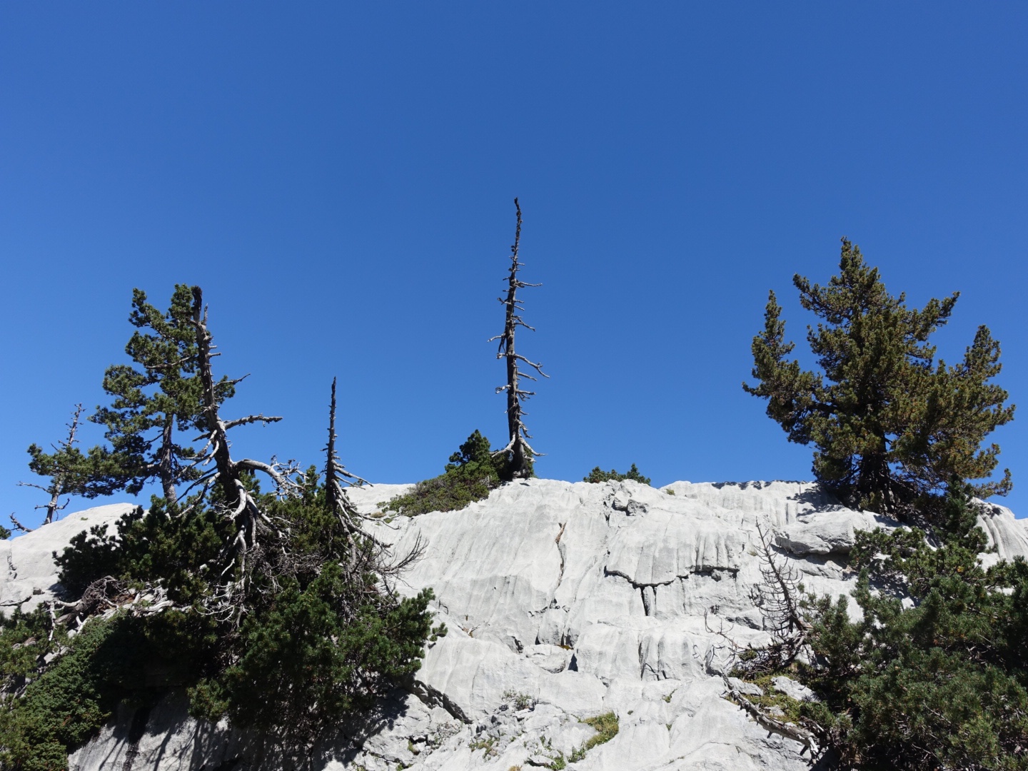
Leaving Rifugio Rosetta
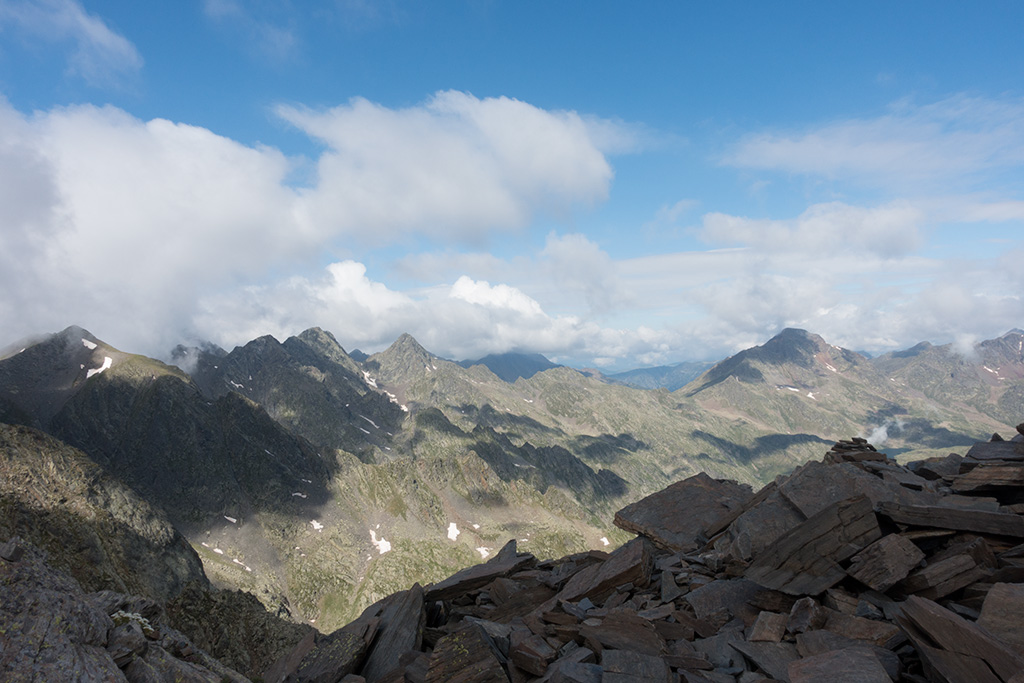
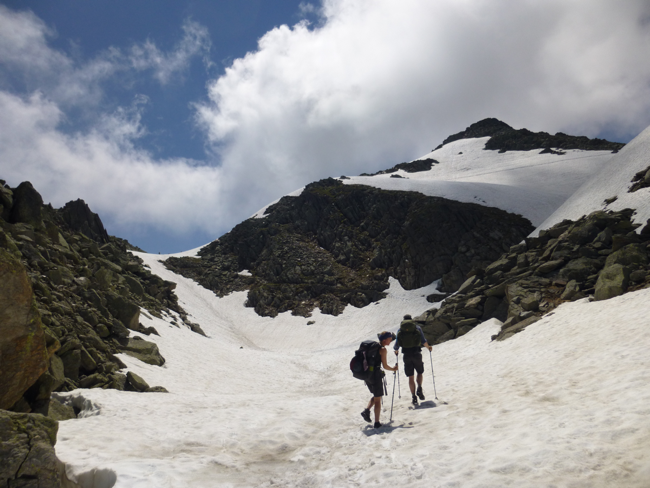
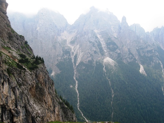
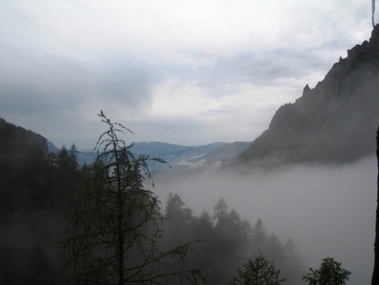
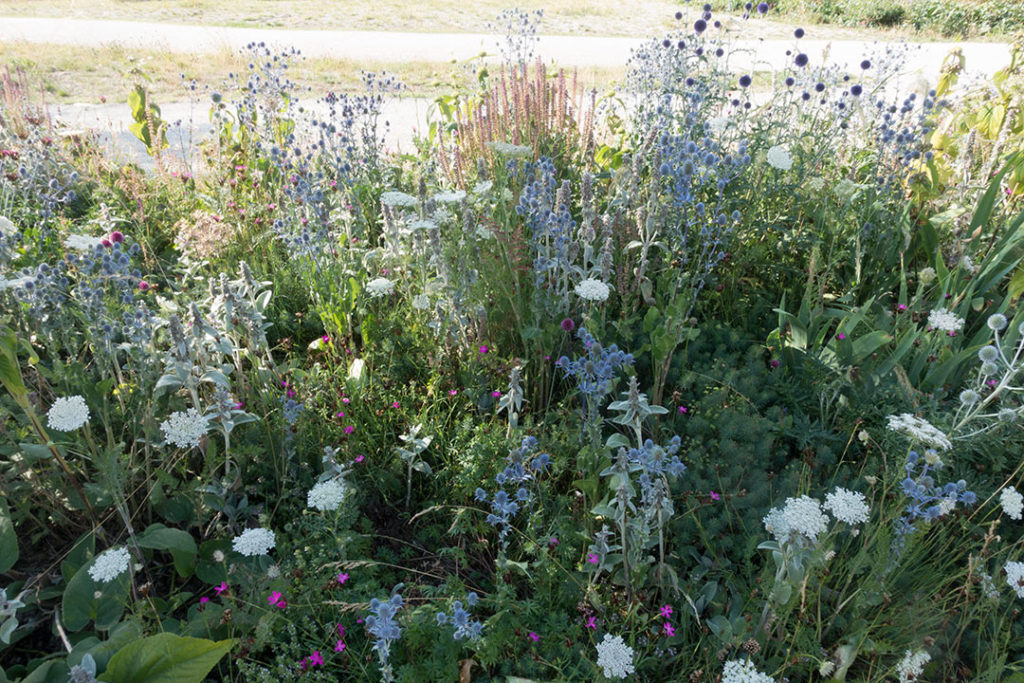
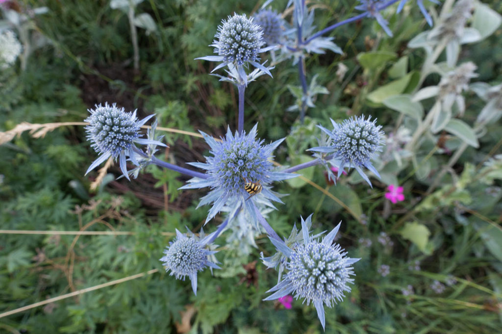
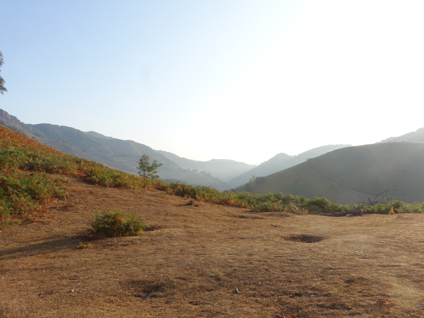
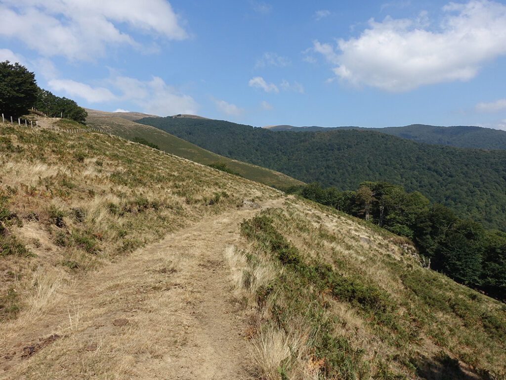
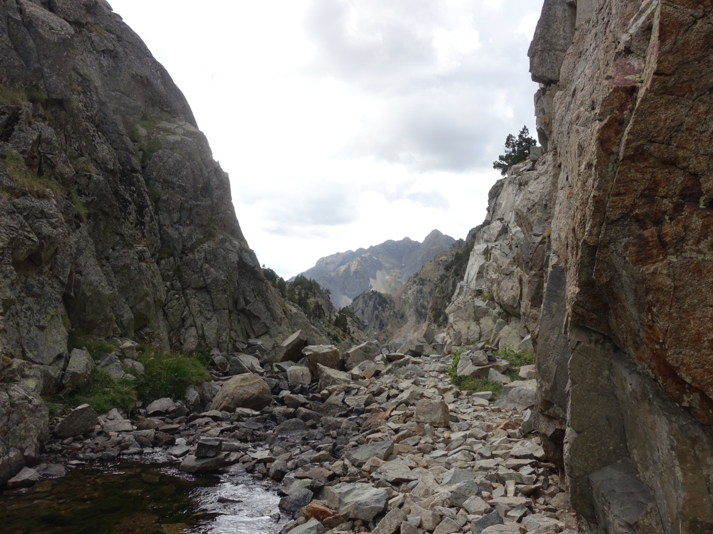
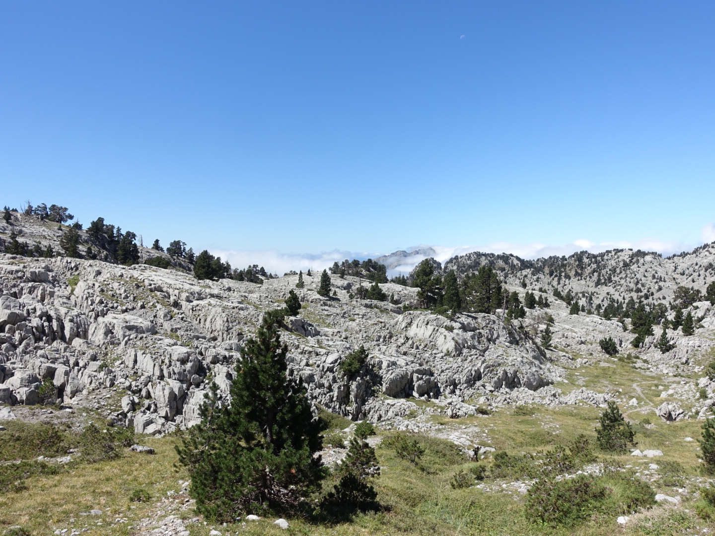
We walked through a rocky beautiful landscape. The landscape reminded us of the Icelandic highland.
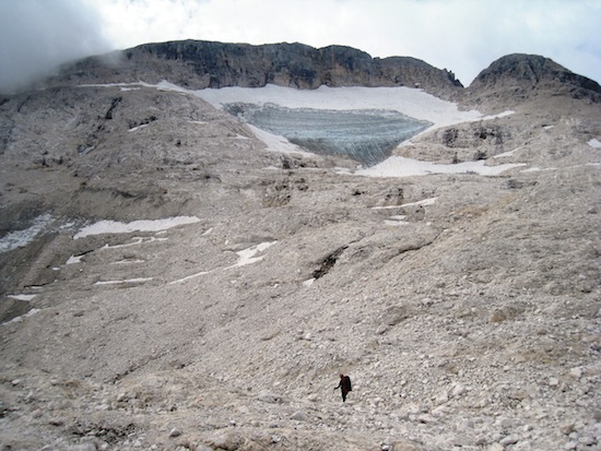
”Icelandic landscape”
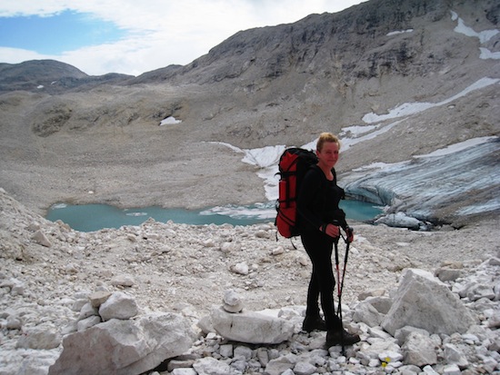
”Heiða in Iceland”
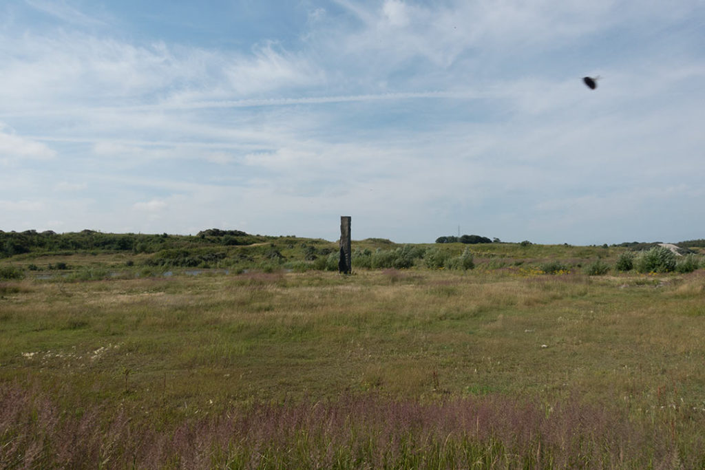
After a while we came to the top Passo della Leda 2695 m.
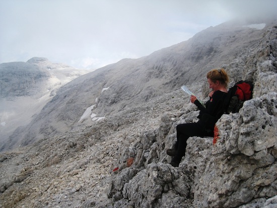
Heiða reading the map at Passo della Leda 2695 m
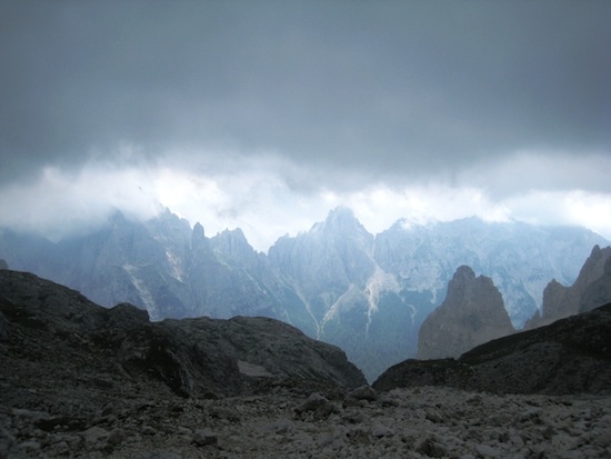
The view from Pass della leda
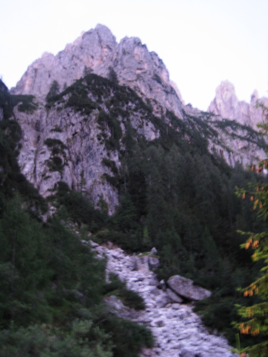
After the top we walked down 1700 m to Canali valley at 1100 m. It was not difficult but really tiring especially in the end.
Rifugio Treiviso, we just needed to walk down and then up on the other side…
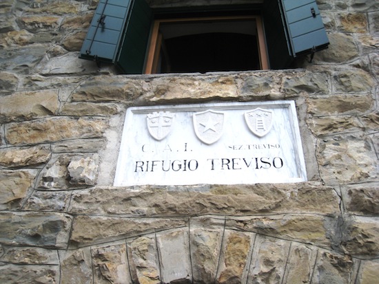
There was a water stream down in the Canali valley, we sat down and took a foot bath before we started climbing up though the forest to Rifugio Treviso 1631m.
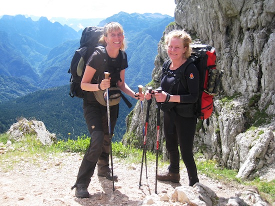
We just loved Rif Treviso. It was beautiful, we got our own room, the staff was really nice, the view was wonderful and the big room with its fireplace was so comfortable. We spent the evening with Helene and James a very nice couple from England we had been spending a view evenings with.

Helene, James and Heida at Rif. Treviso
The Dolomites 2012: Day 13
Rifugio Treviso
We woke up and we were unsure about the weather. Heiða was really tired after the long walking down the day before. We decided to stay at the rifugio during the day.
Rifugio Treviso
We just relaxed this day. Read books, played cards, looked at the view. The rain poured down some hours during the day.
Looking back at the hill we walked down the day before
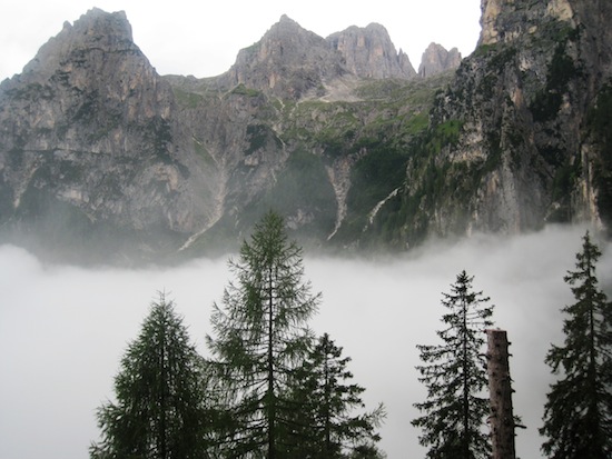
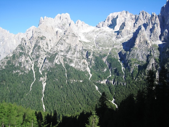
View from Rifugio Treviso
View from Rifugio Treviso
View from Rifugio Treviso
The Dolomites 2012: Day 14
Rifugio Treviso – Rifugio Passo Coreda
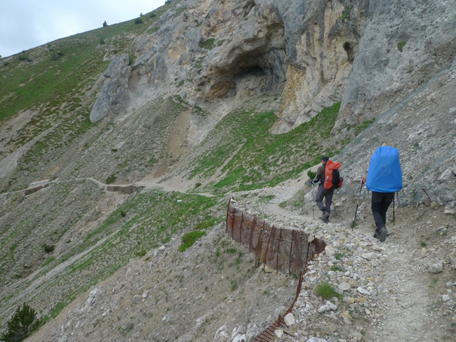
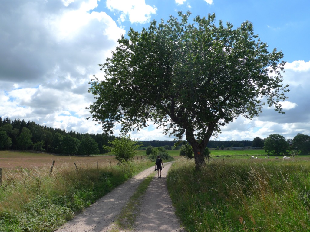
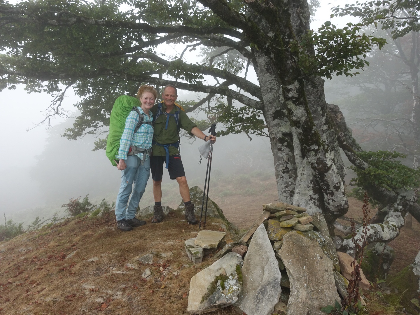
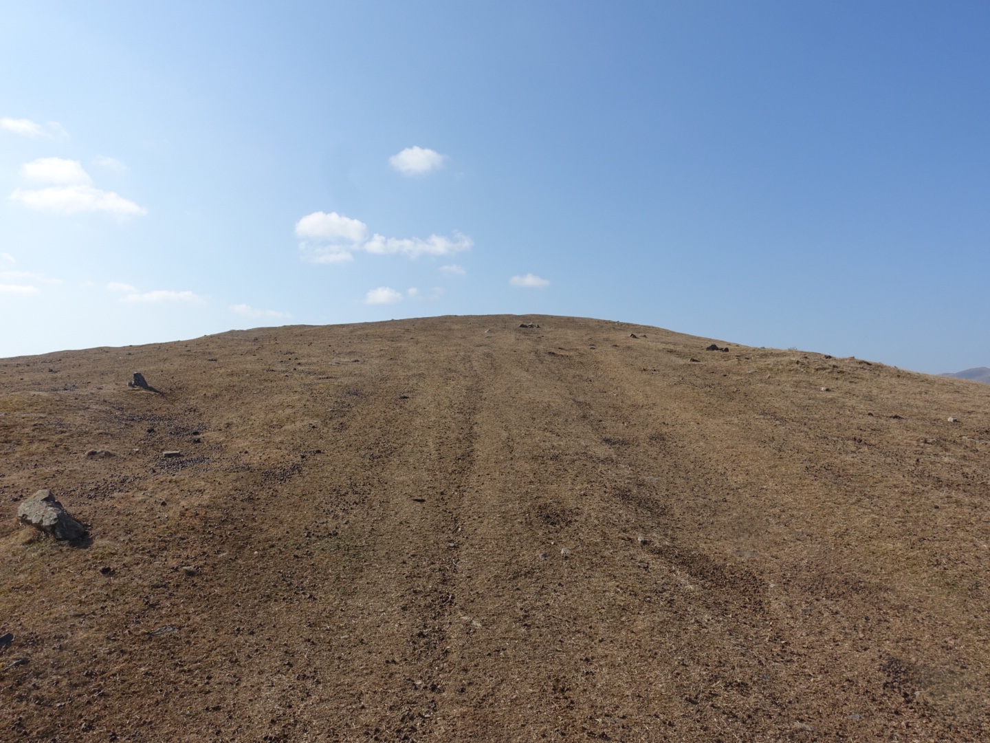
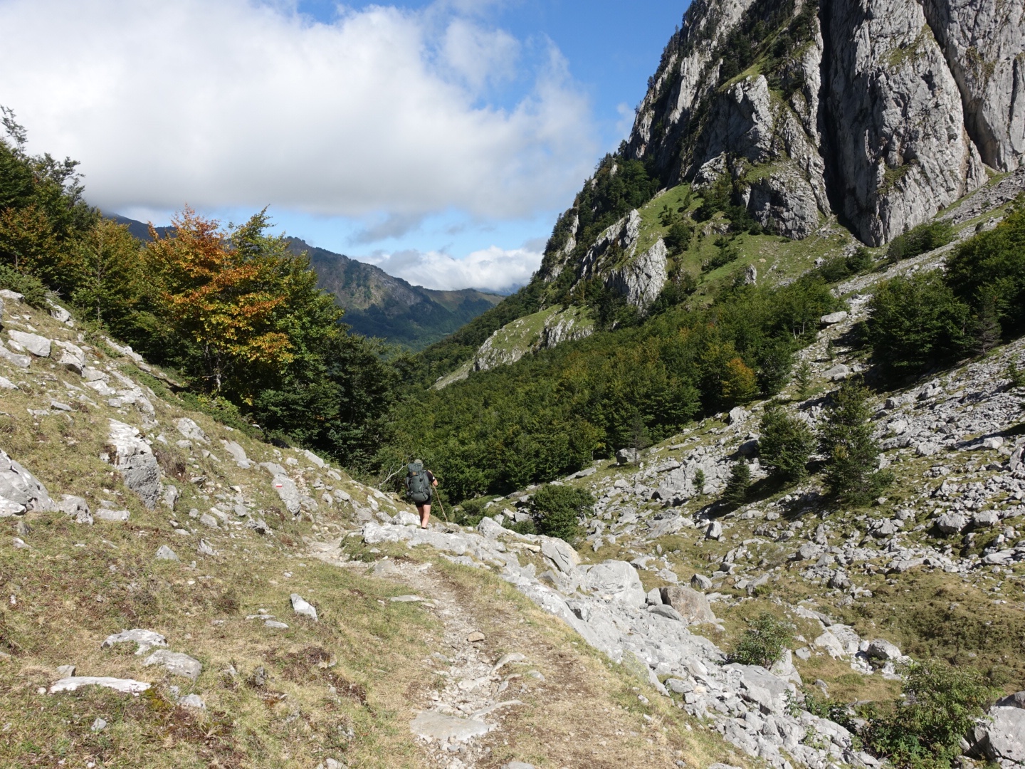
We woke up early, it was a beautiful morning the sun was shining. We were about to do our last day. We walked through the forest to to the top forcella d’Oltro. The last part was steep. This was our last top of this trip. We took a break at the top and enjoyed.
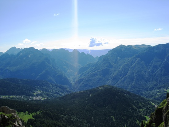
View from Forcella d’Oltro, thr Alta via 2 continues this way.
Forcella d’Oltro 2094 m
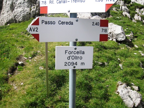
Sign, Passo Cereda 2.40 h
Then we headed down and it was steep, like on the other side, in the beginning.
Walking down to Passo Cereda
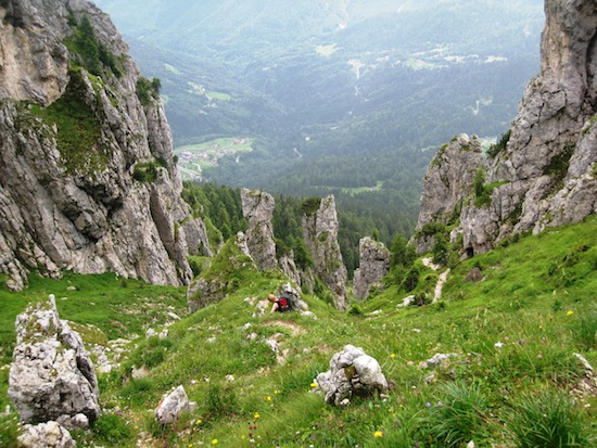
Then we turned left to a more horizontal path along the cliff-side. According to the guidebook this should be a beautiful walk with butterflies and nice view, but we didn’t really enjoy it, the weather changed, it started to rain. and it became foggy. Suddenly we came to this rocky landscape with huge rocks. after we passed those lime stone towers th path took us down to Passo Cereda.
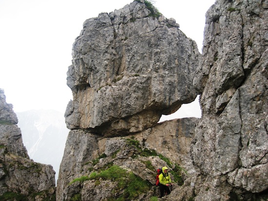
on the way to Passo Cerada
This was the end of our hike! We had lunch at Rifugio Passo Cereda. It was a big place with good food and a lot of people were having lunch. After lunch we started walking down the street hitchhiking. A nice gentleman stopped and took us to Fiera di Primero from where we took a bus to Feltre.
Feltre was full of men wearing Robin Hood hats, there were some hunting festival.
Feltre
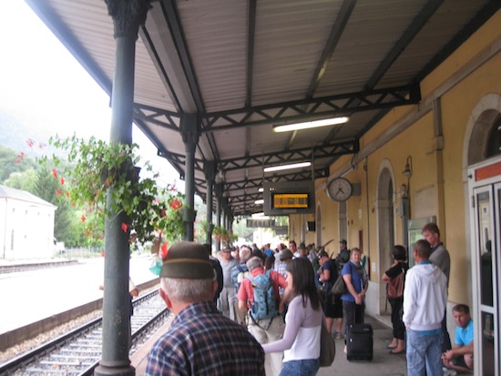
We took the train to Brescia where our dear friend Bruno cooked us delicious Sunday dinner. Ravioli with pumpkin! a lovely end of our wonderful hiking trip. After a couple of days in Brescia we took the train to Umbria, but that is another story!
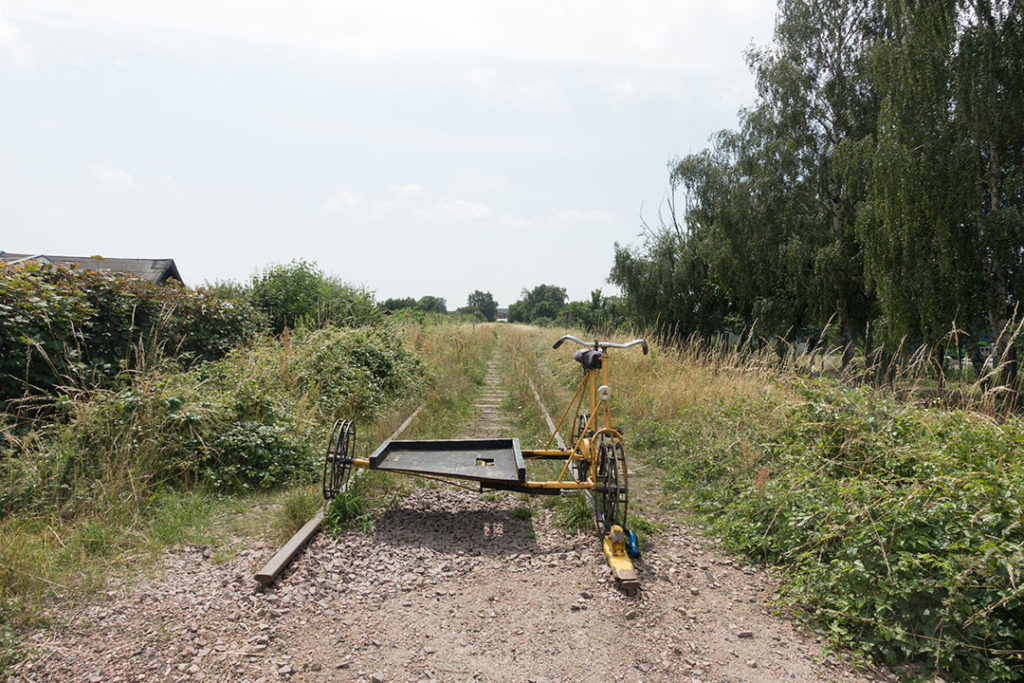
Skåneleden: Brösarp-Agusa; Agusa-Verkasjö; Verkasjön-Heinge; Heinge-Lövestads åsar
Summer 2016 Christer and I (Anna) made a two days hike on the Skåneleden, a nice trail system in our neighborhood, 1000 kilometers divided into five separate trails, with 89 sections.
Skåneleden: Bjärred – Ven 2019
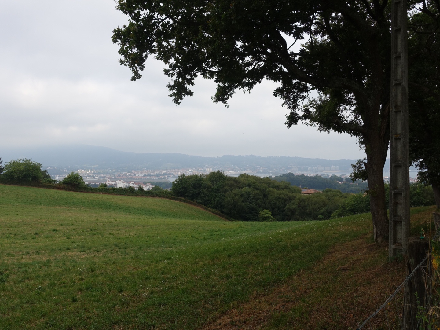
In July 2019, Christer and I (Anna) made a three day hike on Skåneleden in south of Sweden. We started our walk in Bjärred and followed the trail north up to Landskrona where we took the ferry to the little Island Ven.
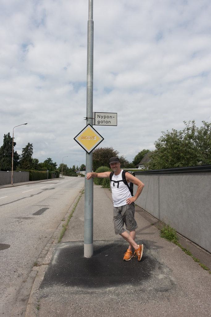
Day hike – Malmö, 2021
This summer me (Anna) and Christer made a hike for one single day, walking around our home city Malmö. The weather was pretty hot and we walked in total 35 km, about 50.000 steps. We made some nice stops on our way and discover some new places in our neighbourhood.
We started out from our summer home, Mossängen, Hyllie. We started our round tour by walking east towards Katrinetorp.
Katrinetorp 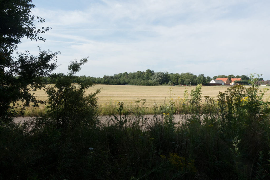
Fosie naturmark 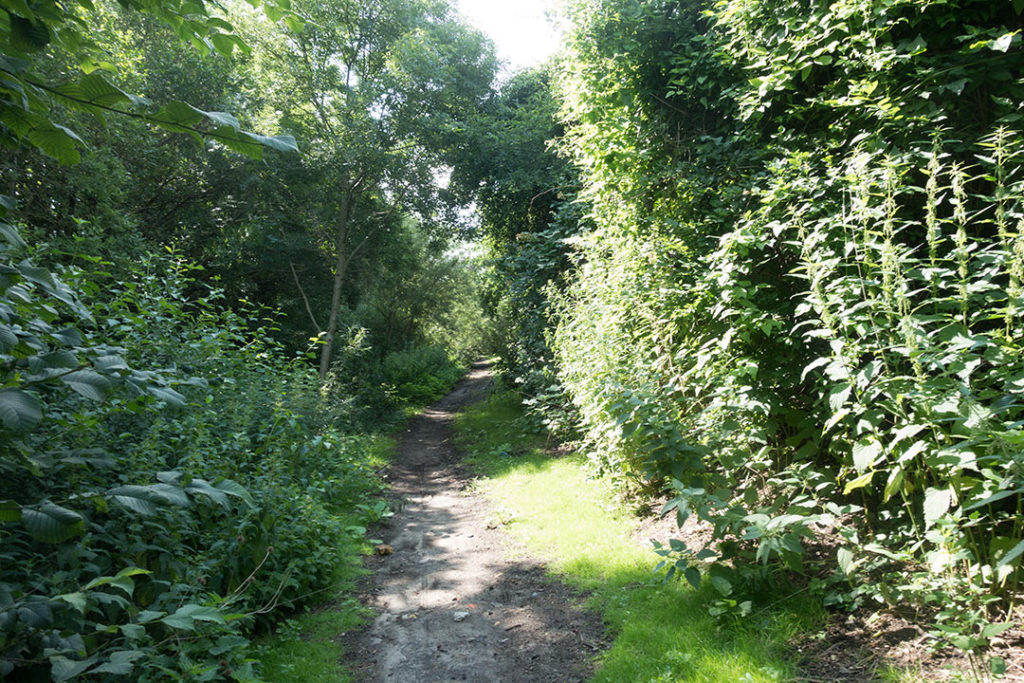
Jägersro 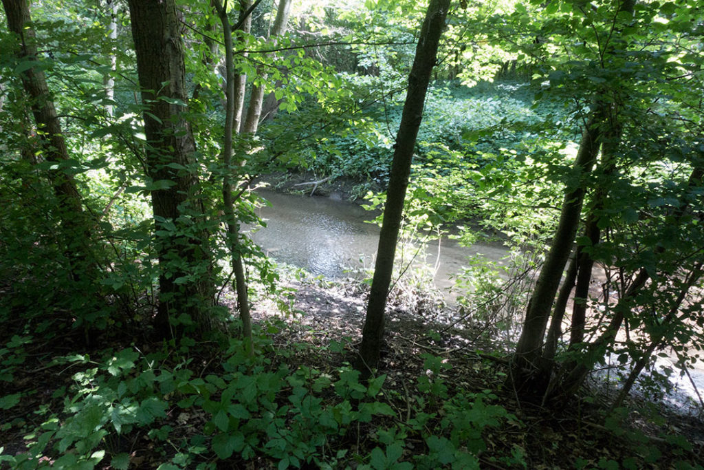

Husie/Hohög 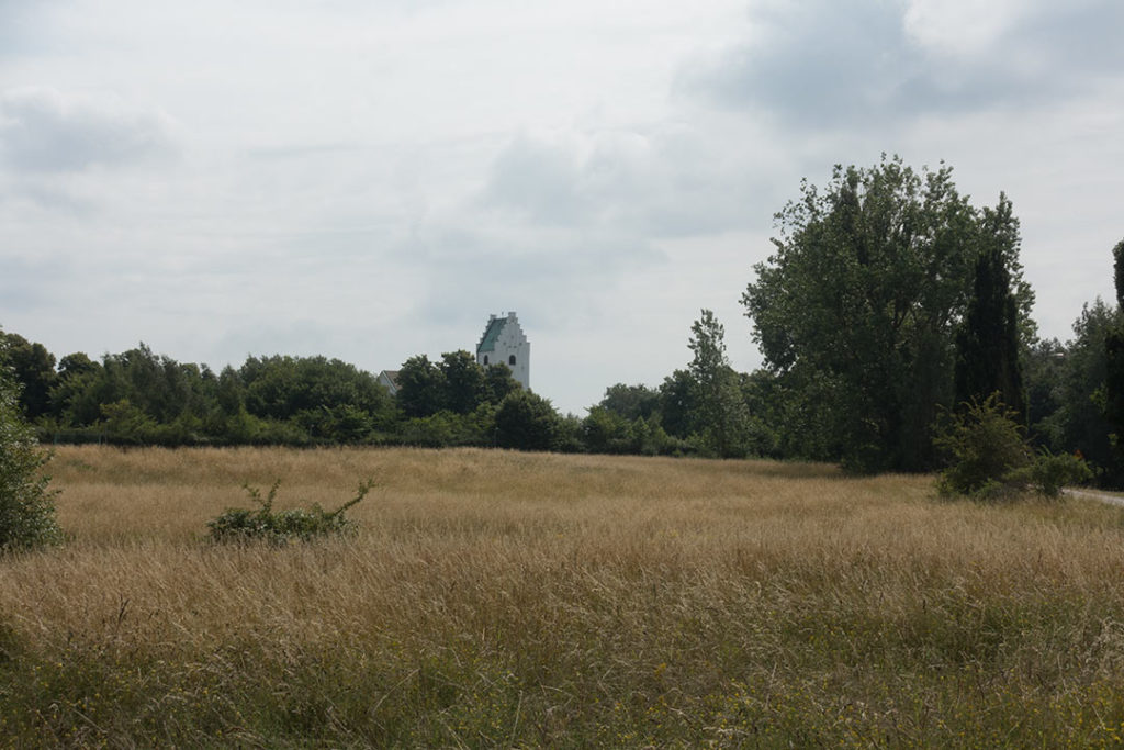
Kirseberg 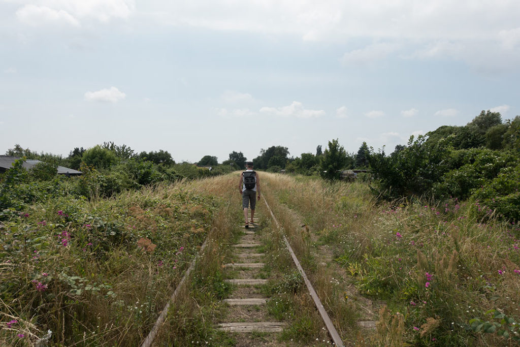
Malmö City 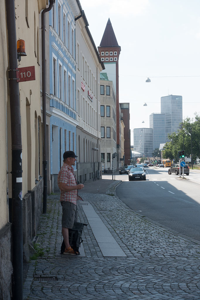
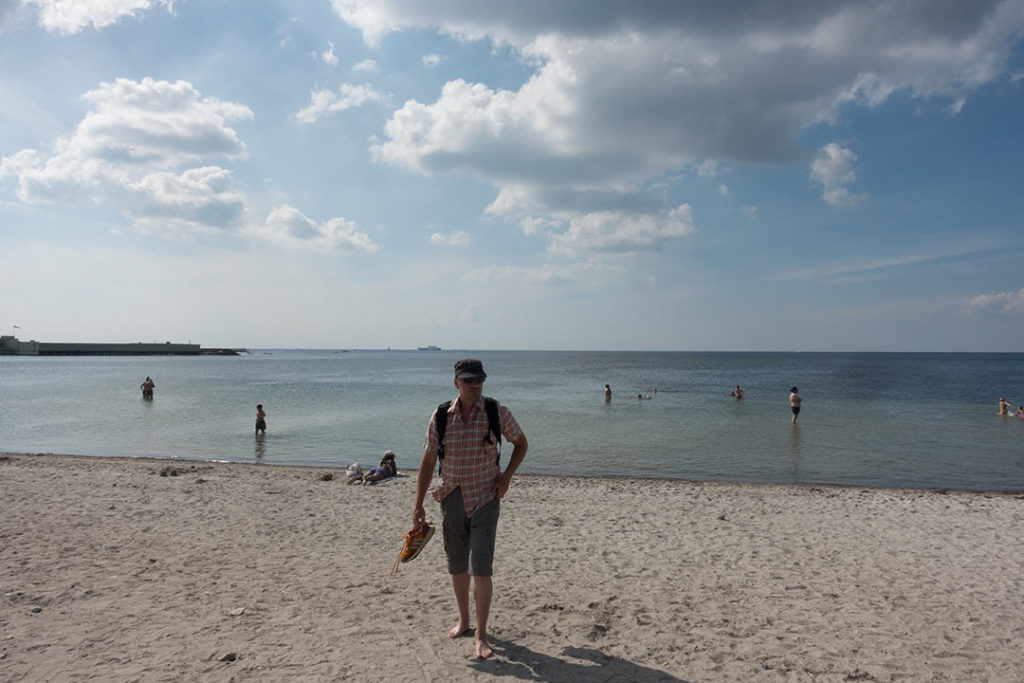
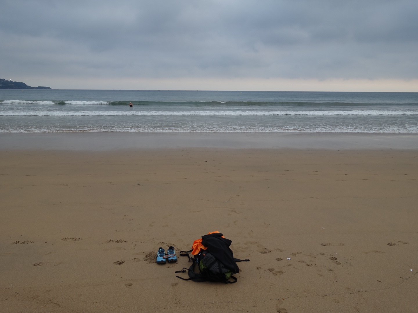
Coastline, Ribersborg/Sibbarp (finally we could have a refreshing swim) 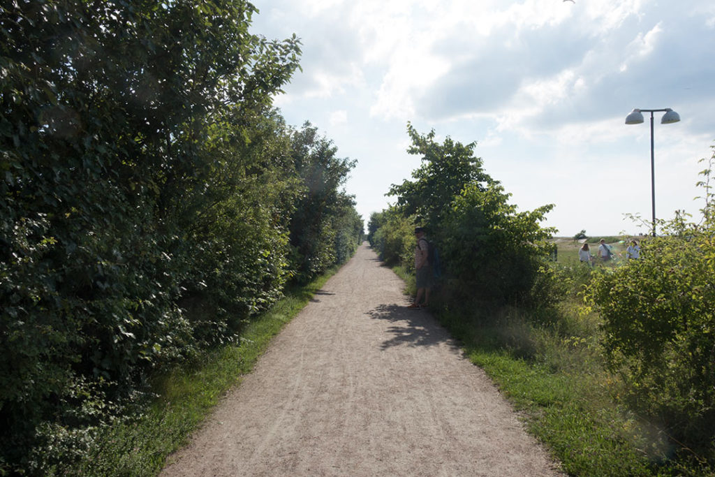
Sibbarp 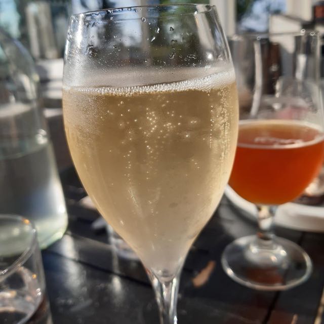
Champagne in Sibbarp
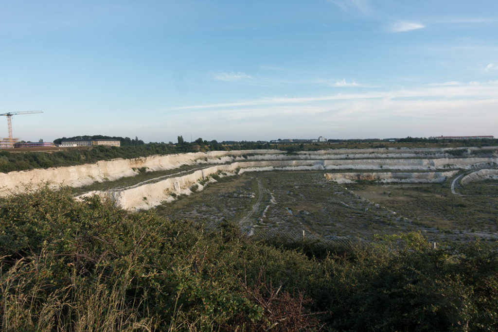
Limhamns kalkbrott 
HRP 2022
Down below you read about my HRP hike in the Pyrenees. My plan was to complete the 800 km in one go but for familiy resons I desided to end in Gavarnie, I walked about 268 km in total. I will return and continue my hike another time.
I did really enjoy the hike, the begining was a bit to hot for my taste, about 35 C, but it got better as soon I came higher and higher up. During my hike I learn to know several really nice people who also were following the same trail. HRP is never marked and there excist different variant. I followed the route described in the Ciceron guidebook, Pyrenean Haute Route by Rom Marten. You will need proper maps and trail description if you wish to follow HRP, a navigation app is also something I recommend. You can stay at refugios all most every night if you wish but I wouldn’t hike HRP without a tent. It gives you much more freedom and also for safy resons, I wild camped most of the nights.
Day 1: 12 August: Henday to Col de Lizuniaga
It is a tradition to start with a swim in the Atlatic sea before you begin you hike on the HRP trail in the Pyrenees.
I had a lovely swim about 8 a clock in the morning, quite empty beach, just a few more early birds. When I was ready just all the surfers started to come, I was lucky. I didn’t stay long at the beach, eager to get started.
Before leaving I had some problems getting some money from the cash machine. They where all empty, a helpful lady told me that is often the case. I gave up and turn my back to the ocean and left the village.
During the walk I meet a really nice couple, Keith and Lesley, who also are following HRP, we have since then meet several times.
Later in the day it became very hot, about 35 degree, to hot for walking, I had to move slower and I did take a short cut in the end. I started to get some frictions between my toes, needed to be careful, I probably was to sloppy in rinsing of the sand and salt in between the toes after the swim.
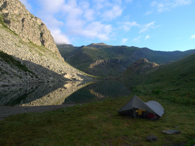
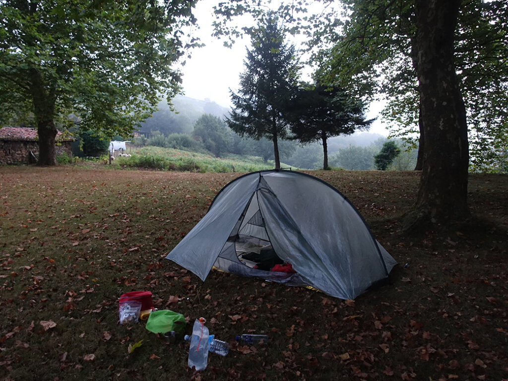
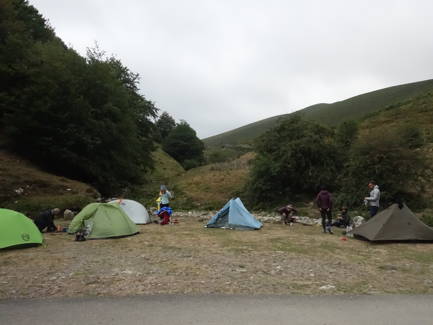
I pitched my tent at a campsite in a green field, crossed the road of a silent restaurant/hostel. There was no facilities accept for some fresh water. I made dinner at the tent, had a chat with Christer at home. The nice couple arrived just after I gone into my tent.
Day 2: 13 August: Col de Lizuniaga to Arizkun
I woke up half past five by the guy in the neighbouring tent who started to take down his tent. Some are early. I decided to get up as well, my wish was to get some walking done before the heat slowed me down. I was ready to leave quarter past seven. Took farwell of Keith and Lesley.
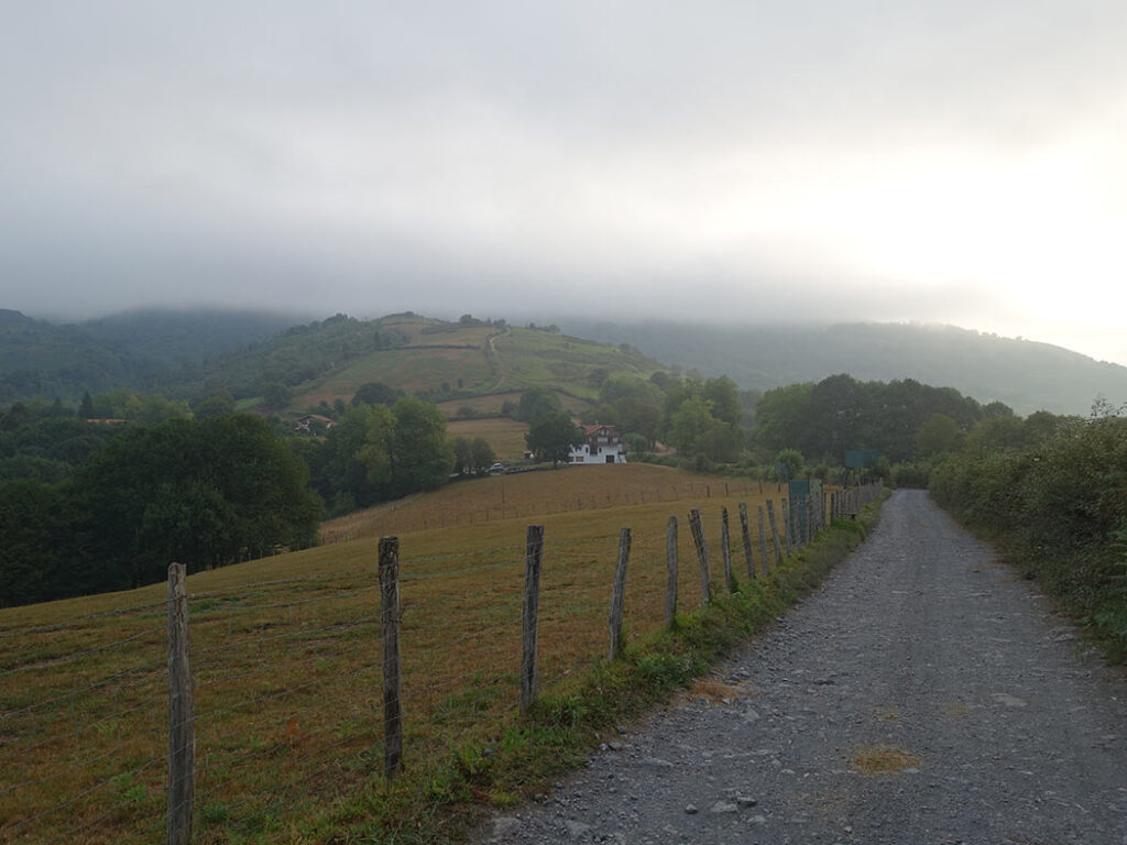
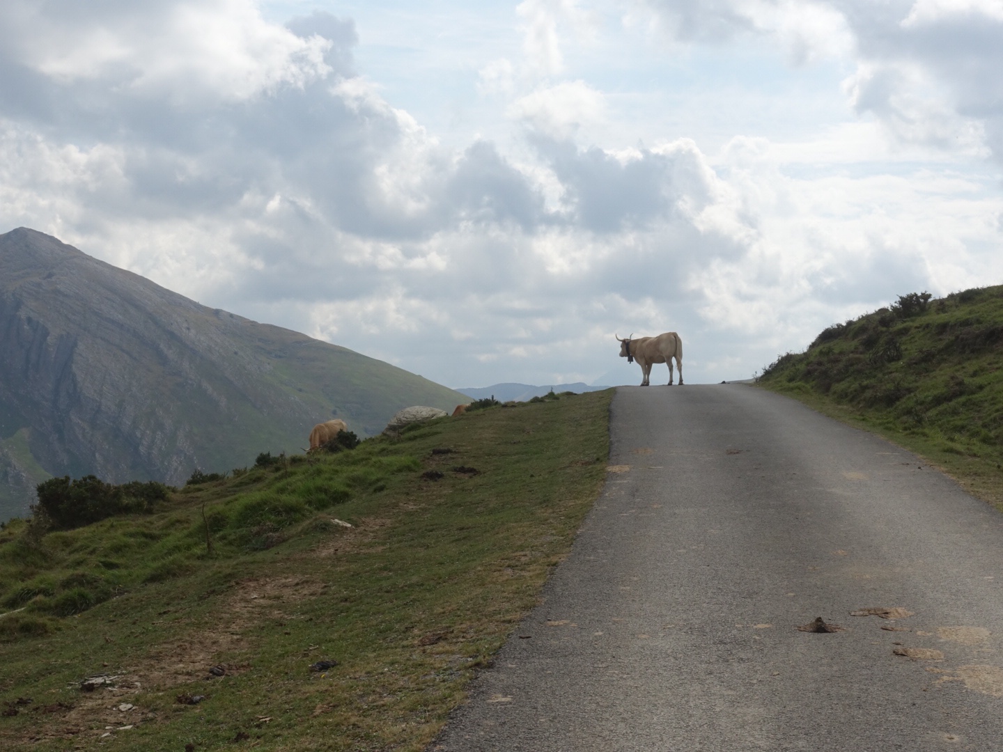
Walked most of the parts on dirt roads. I passed a lot of horses and cowes with bells around their neck. A sound familiar from earlier hikes in the mountains.
In the end of the trail there was a heavy climb, heavy mostly because of the heat, followed by an even steeper down climb.
I walked in to Leslie and Keith, we had a nice break in the shade of some oak threes together. They took of a little earlier then me, my feet needed some more air. When I come down to the village Arizkun, Leslie welcomed me with a beer. It tasted fantastic. We walked together to the hostel at the neighbouring village, Arizkun, as we all had booked a room there for the night. Unfortunately there was no restaurant open in the village, so I made some dinner in the kitchen.
The weather changed, there was some rain during the evening/night.
Day 3: 14 August: Arizkun to Aldudes
I had a great night sleep, the weather was perfect, my feet was happy. I had some breakfast at the hostel together with Lesley and Keith. I was ready at nine.
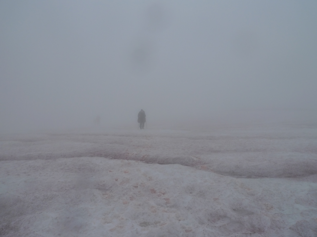
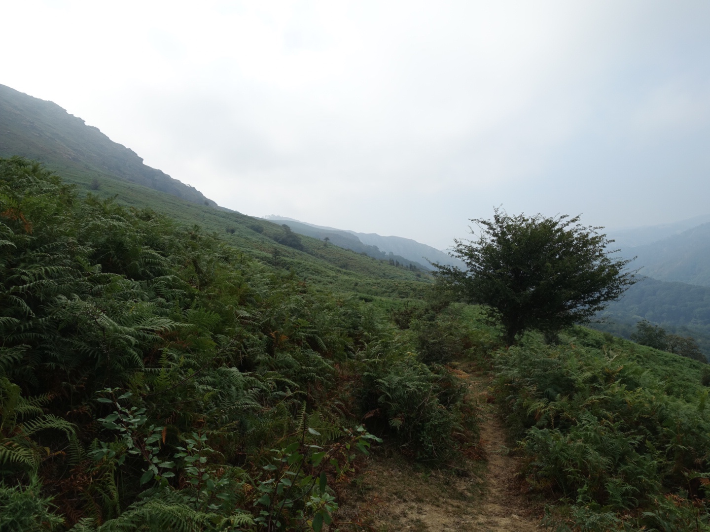
I started walking up in to the clouds, it was misty and a bit wet. I came up to a field. There was no marks to follow, just white mist and some grazing cows with their jingling bells in the milky white fog, I was happy to have my navigation app to assist me to find the way.
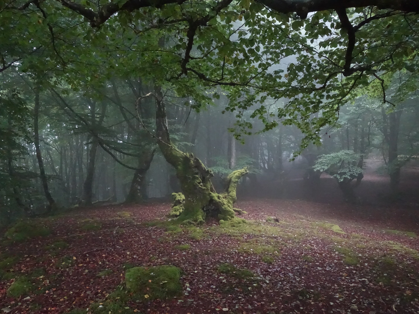
After I while I entered a magnificent forest. The beech trees where really high and it became even more dramatic when walking in the clouds. I climbed further up, still no clear path. I had a short rest above the forest. Lesley and Keith arrived when I was leaving and we continued together.
Had a nice lunch break together, and the sun came through.
I arrived to the village Aldudes in the afternoon, we had beer together at the bar in front of the church. The beer tasted great after the walk.
There was a campsite in the village located a long the river. The water was refreshing, I cleaned both myself and my cloths. I almost took a swim but the stream was quite strong so I didn’t really dare.
At the campsite I met Tasha and Anika, both hiking alone. Tasha from Australia and Anika from South Africa but based in Germany.
There was a fest in the village, they were serving drinks and some flat bread with local cheese and ham. It tasted great. A group of young men were singing some songs from the region. Very beautifully. They kept on singing all through the evening, I could still here them singing from my tent trying to sleep later on.
Before hitting the sack we shared some wine at the campsite. Another great evening in the mountains.
Day 4: 15 August: Aldudes to Col d’Intzondorre
I got started just before eight. Tasha started about 5 min before me and damn she was fast, I didn’t see her again that day.
Anika and I had some company during the first part, otherwise I walked most of day on my own.
Last part before coming to Roncevalles I followed a road in a forest, I had some shadow but so far the most borring part of the HRP, and it seemed to continue for ever.
My earlier plan was to stay in Roncevalles, a pilgrim village, or at least have some supper before continue. But when I didn’t manage to get any reservation, I desided not to even visit the village and instead I continued on the next day walk (Day 5 in the guide book).
I met a lot of Camino pilgrims heading towards Roncevalles during their pilgrimage to towards Compostella. I confused some as they thought I was walking the wrong way. After an hour of climbing I realised that I must have missed the campsite mentioned in the guide book. I sat down, as I understod there wouldn’t be any posibility to camp soon further on, so either have to turn back to find the campsite or continue the climb another hour or so. I do not like the idea of turning back.
I spoke with Christer on the phone, it gave me some energy. He is my best support. But the call drained my last bit of power in my phone, damit, not good at all. But I had a map of course.
Then I saw Anika coming up. It was great to met up with her and my mood changed to the better. We continued together, she convinced me that we should find a campsite further on. After some climbing we came up to Col d’Intzondorre, and around the emergency shelter we find a nice place for our tents.
A bit windy but with a wonderful view. It was rather late so we pitch our tents and made dinner before going to bed.
Day 5: 16 August: Col d’Intzondorre to Ergurgui
The night was very windy and I went up as soon as it was light and took down my tent. Anika had already taken down hers. We could pack our bags and make breakfast in the shelter. We decided to walk together for the day, we had nice and relaxed walk. Anika try to navigate with the map instead of the navigation app, which is much easier. It was more challenging and I enjoyed it very much and I need the training as well. We did quite well, just a few mistakes.
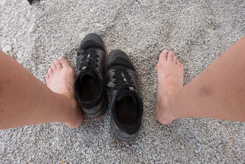
At a stream we took a lunch break with some foot bath. We hadn’t met anyone the whole day and suddenly first a women from US came by, she planed to walk the HRP in 28 days, doable but I find it a bit insane. Than three Dutch hikers also passed us, they just stoped shortly for a quick chat and then they continued.
We walked for a while with the US women, she was realy an ultra light backpacker with a lot of long distance hike experiences. She was very efficient in her way to walk, only made very quick breaks, she was even eating lunch while walking, dehydrating it during break while filtering water and taking a foot bath.
At the end of the day section at the old Refuge Ergurgui we met the Dutch team again, we decided to camp there as well and sad good buy to the US women it was to early for her to set camp. We had a great evening with the Dutches, a couple (shame on me, I do not remember their names) were hiking with a guy, Eli, they had met on the trail. All of them were also following the HRP. Lesley and Kieth also joined us after a while.
It started to get dark and we all went to bed. As soon as I was in my sleeping bag it started to rain heavily and there was also some heavt wind and tunder, happy we where down in the valley and not at the campsite last night.
Sleeped quite well after the tunder passed away.
Day 6: 17 August: Ergurgui to Col de Tharta
The couple and Eli took off really early already even before getting light. Me and Anika started about an hour later. I was happy to continue walking with her.
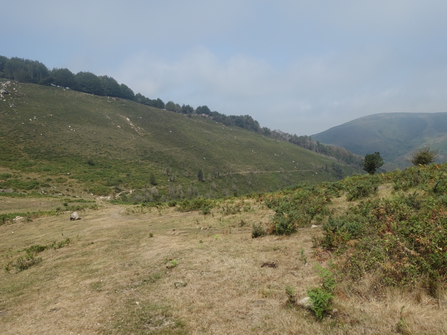
HRP trail is never marked, only when it follows other trails you have something to follow so it is important to navigate with a map or an gps device or navigation app. This morning there were not any clear path, just a steep gras slope,
It was tough but we did find our way up the slope without too many mistakes and by only following the map. Close to the top we met a female Shepard. Anika talked with her in French, she wasn’t to happy about hikers not following any path. She didn’t know anything about HRP and we just followed the Ciseron guidebook’s directions.
In the slope Anika found a headlamp. We guest someone of the Dutch team lost it so we took it with us hoping to meet up with them somewhere later.
Further on we past Chalet Pedro, where me and Yrr ones stayed while hiking on the GR10. It had been renovated and was not a normal gite any more, for long stay only. There was a restaurant that you needed to book in advance, we just took something to drink and an ice cream. Before heading of we took a small break on the gras, aired our feets.
We now followed GR10 up to Col Bagargui. On the way we found a place to buy some some really nice mountain cheese. This made us both very happy as we earlier had some failures in getting cheese at other places. There was also a nice place to stop for some crepes etc. We decided to continue and eat up at the Col.
At the Col Bagargui we took a long break, we needed it. The restaurant had just closed for lunch. But there was a small, but quite well equipped shop, they even had fresh vegetables, camping gas and local delicacies. We could sit inside where we also could charge our devises.
Keith and Leslie caught up with us. It was nice to meet them again. They decided to stay the night while both me and Anika wished to move on a bit further on the next day stage (day 7 in the guide book). Maybe not the best decision as the weather started to get bad and the forecast didn’t look well for the next day. But we wanted to get closer to the next day climb of Pic d’Orhy, even if it was very unsure if we would be able to climb it the following day, as the weather forecast was not looking good.
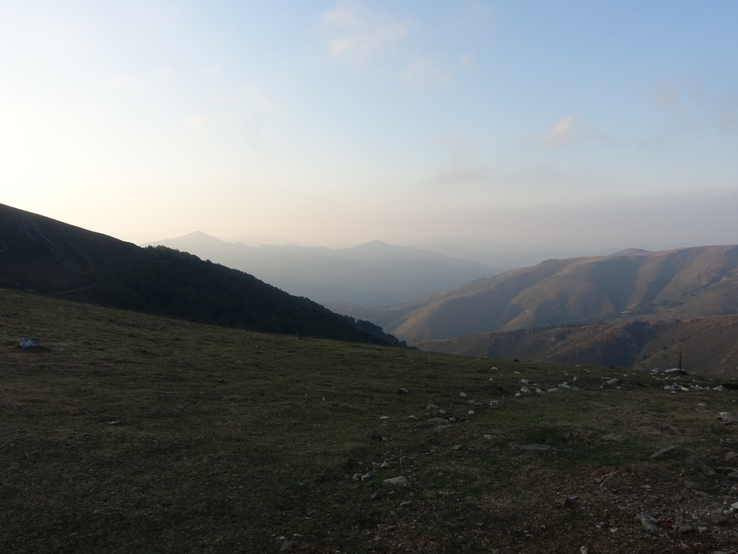
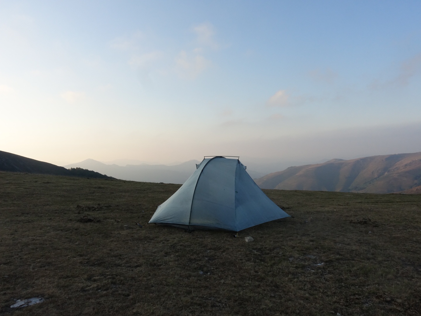
The weather got worse and started to be quite windy. We found a spot, at Col de Tharta, that had great protection from the wind. We made dinner sitting inside our own tents, the rain started when I was almost finished.
It turned out that our campsite was really bad when it rains. The bottom ground collected all the water so when I took down the tent in the morning I was standing in a five cm deep pool of water. Now I no I have a tent I can trust as me and my things was still dry.
Day 7: 18 August: Col de Tharta to Refugio Belagua
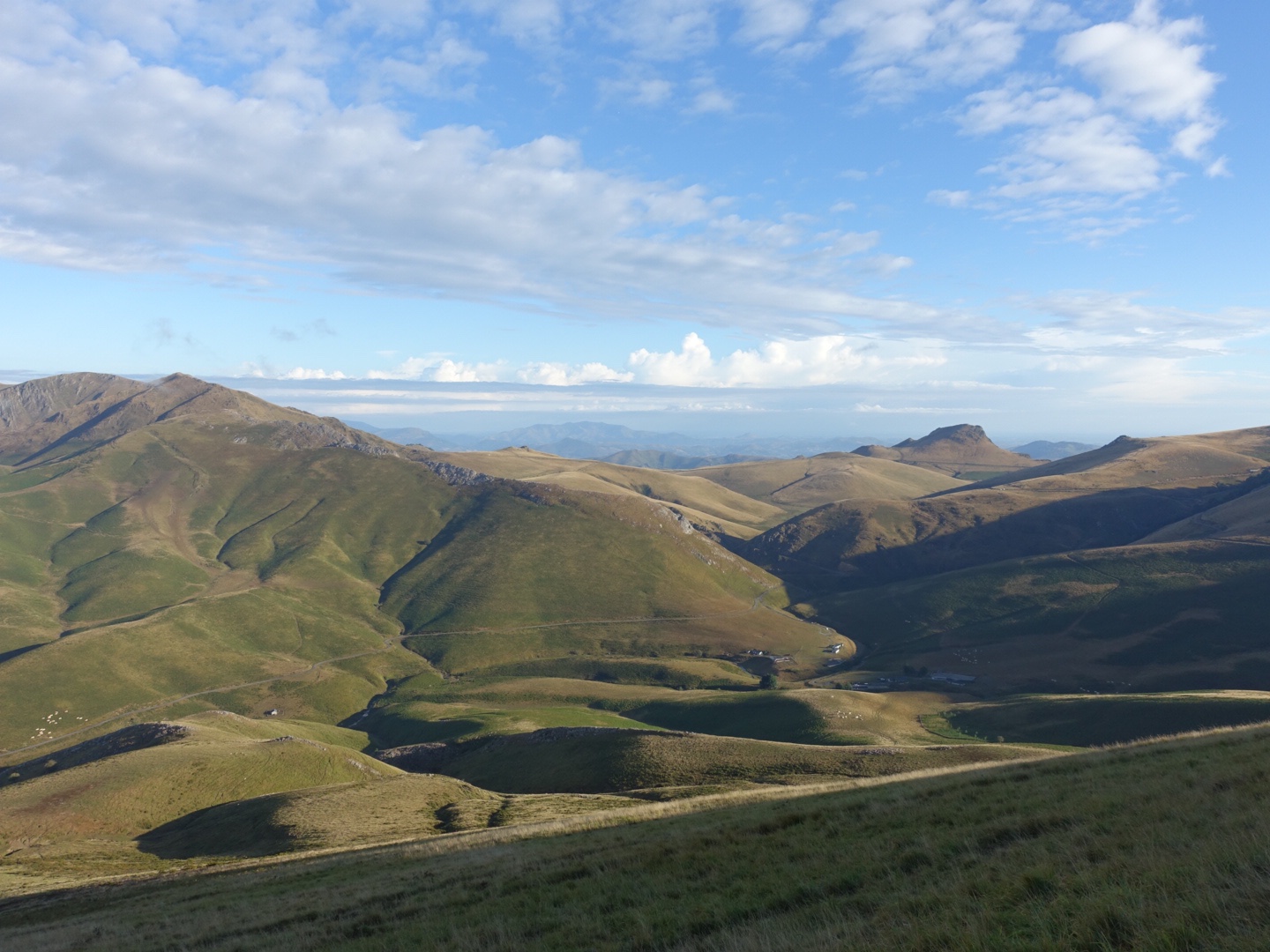
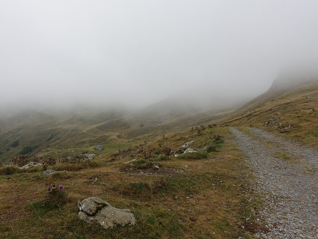
The weather was really bad the entire day. There were no visibility, a strong wind and and from time to time heavy rain. There was no way we could climb up to Pic d’Orhy (2017 m), we had to wait to reach over 2000 m. We were forced to take an alternative route.
We had really bad weather the entire day, I was happy to not hiking alone, Anika and I managed to keep the mood up together. There was no way we could climb to Pic d’Orhy, we had to take the alternative variation. We were walking in the cloud for the entire day so even when it wasn’t raining it was wet.
At the Cabane d’Ardané (the end of day 7 in the guide book), unmanned hut, we took a break and had a late lunch and some warm tea. I tried to dry my tent but it was very humid so not really any point. We discussed if we should stay the night. Neither of us was tempted to stay or even leave. The hut was quite ok, situated very nicely in a valley with a stream. It also had a fire place.
There were someone camping nearby. We later found out that it was Tasha who had decided to stay in the tent for the whole day, avoiding the bad weather. If we knew we might have stayed. In the end we decided to try to reach the Refugio Belagua, about four hours ahead.
We continued to walk in the rain. At some parts it was really muddy and slippery. At some place dangerous so we had to be careful. After some hours we finally arrived to the Refugio. They had room for us, I wanted to eat there, Anika preferred to cook her own. At the dinner I met the Dutch team again. Indeed a nice surprise, And we could return the headlamp, they were very grateful. The Dutch group has grown, two girls had joined them, Eva and Dara.
We had a nice evening before getting some sleep.
And sorry, due to the weather I didn’t take any picture, accept for one of myself in the rain, the picture is so misarable, so I’ll spare you that one.
Day 8: 19 August: Refugio Belagua to Lescun
The weather was still not pleasant in the morning, still grey and cloudy. This morning we had some difficulties in keeping the mood up. Things didn’t get better when we after half an hour realised that we where following the wrong trail. The correct trail were parallel so we decided to cross the field instead of going back, we had to do some climbing and we were a bit frustrated for a while. Finally we found the trail and there we bumped in to Eva and Dara, who we met yesterday and we walked together with them for a while. The sun appeared and decided to stay and things felt so much better again.
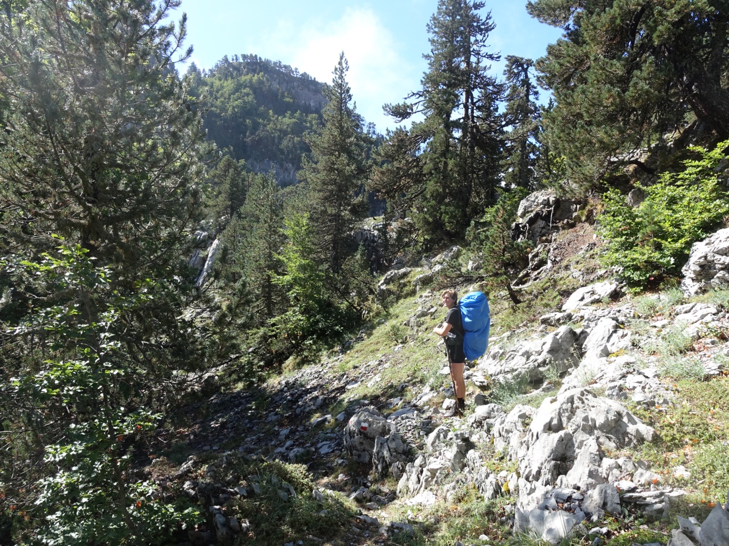
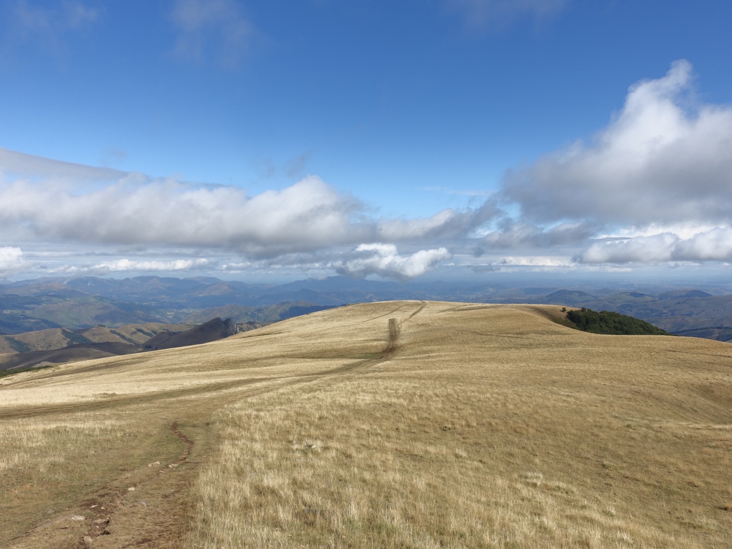
We walked through a stony, barren and overwhelming landscape. We saw Marmots and Izards.
We had lunch with Eli, Eva and Dara at the stream at Source de Marmitou. I dried my tent and let the stream cool down my feets.
We continued down to the village Lescun, a decent of about 1000 meter. we reached the village in time to get some supplies in the store. The camping is situated 20 min from the village. The dutch team also stayed at the camping, we all prepared some dinner in the camping kitchen and sat down together outside of our tent. I fried some fresh sausage that I shared with Eli, to go with my home dehydrated tomato, vegetables, mushroom and haloumi mix. It tasted great.
I had decided to stay two nights in Lescun, I needed to get my parcel with food supply at the post office the next day and I also needed a rest. My feet was quite ok but I had some pain in my knee.